| Area | Scott River |
| Topic | Tour: Post 1997 Scott Basin Flood Photos |
Bank failure along mainstem Moffett Creek as it joins the Scott River after the January 1997 high water. Note the pilings that were placed by the landowner in the late 1950's to help prevent bank erosion previously. Photo by Jason Johnson.
This photo shows the stream bed of Moffett Creek in August 1997 after the January 1997 Storm and subsequent excavation. See Pictures #3 and 4 for more shots of Moffett Creek.
This aerial photo shows the riparian zone of Moffett Creek after emergency flood control activities. Heavy equipment was used to increase channel capacity.
Tractor excavating material from the bed of Moffett Creek in February 1997 as part of emergency flood response.
Scott River terrace as seen from Red Bridge just below Callahan looking upstream and left just after the January 1997 storm. The flow at left is as a result of the change to a braided channel at this point (see Picture #6). Note the amount of sand deposited.
Scott River from Red Bridge just below Callahan looking upstream and to the right. High water filled in this reach of the river with sediment and caused a major channel shift to form a braided channel. Hole formed by rip rap that armors the bridge at the bottom of the photo was 6-8 feet deep prior to the storm. The large wood was also deposited by the storm, however, which adds some complexity for fish habitat.
Flood plain of Scott River just downstream of Callahan showing how high flows in January 1997 re-mobilized old mine tailings that line the channel.
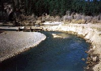 Click on image to enlarge (28K).
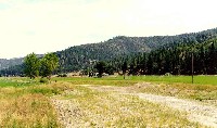 Click on image to enlarge (31K).
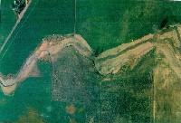 Click on image to enlarge (81K).
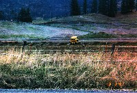 Click on image to enlarge (74K).
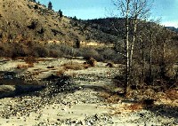 Click on image to enlarge (45K).
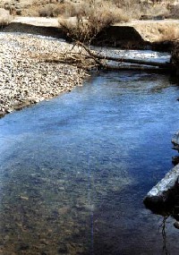 Click on image to enlarge (32K).
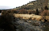 Click on image to enlarge (30K).
To learn more about this topic click Info Links
To view additional information (data source, aquisition date etc.) about this page, click Metadata
| www.krisweb.com |
