| Area |
Basin-wide/Regional |
| Topic |
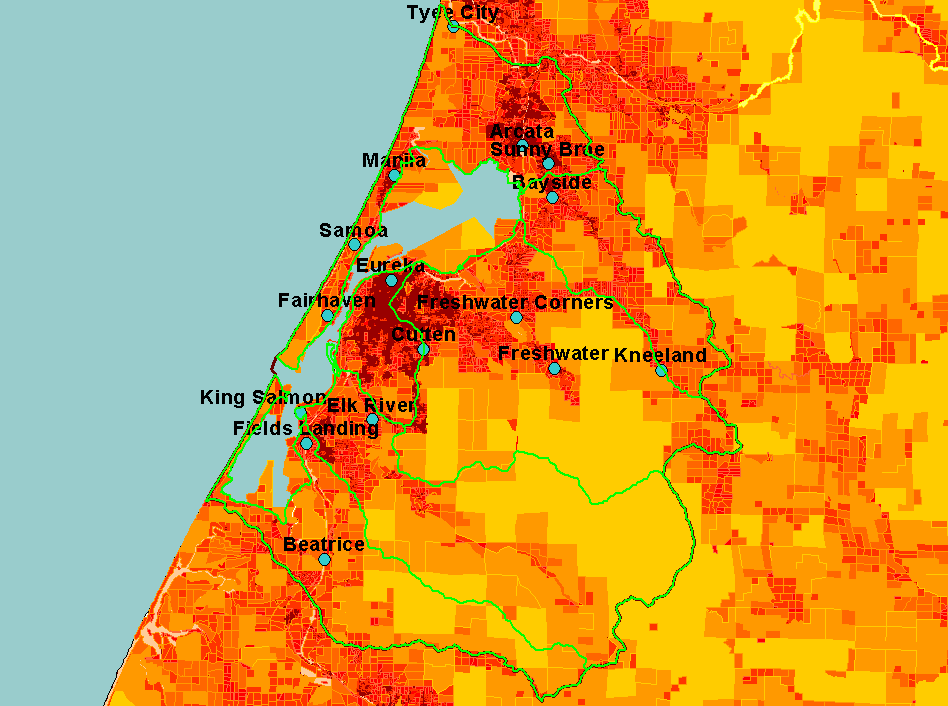
Map: J. Parcels by Size, Humboldt Bay |
To view a more detailed version of this map click
here
|
This map shows parcels classified by size in the Humboldt Bay Basin. Parcel size is an inverse indication of development and urbanization (i.e., small = high, large =
low).
|
|
|
 |
 |
To view metadata about a map layer, click on a link in the table below.
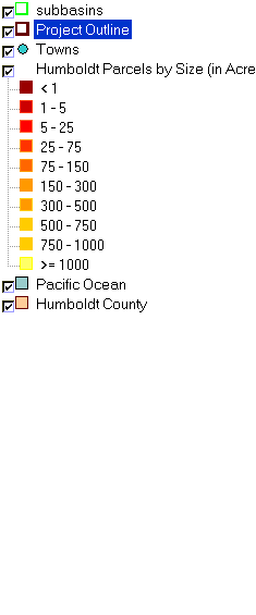
| Name of Layer in Map Legend | Metadata File Name |
|---|
| subbasins | subbasins.shp.txt |
| Project Outline | Unavailable |
| Towns | Unavailable |
| Humboldt Parcels by Size (in Acres) | hum_parcels_utm.shp.txt |
| Pacific Ocean | Unavailable |
| Humboldt County | Unavailable |
If you obtain KRIS on a CD and install it on your hard drive as a desktop program, you will have access to increased map capabilities such as zooming in/out, turning layers on/off, adding layers and changing legends.