|
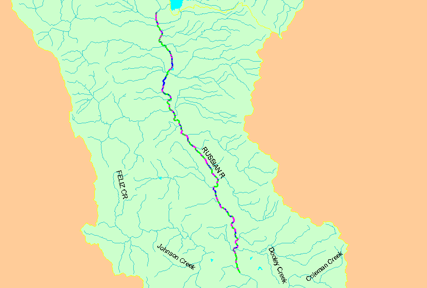
This map shows the unit-level results of a late September and early October 1992 habitat typing survey of the Mendocino reach of the Russian River. Units are
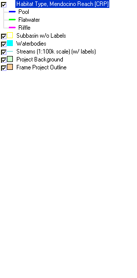
color-coded by habitat type with relative lengths of pools, riffles and runs (flatwater) displayed. Pool frequency was low, with only 18.7% pools of stream length as
pools. The surveyed reach extends from the confluence of the Russian River and the East Fork Russian River downstream to sixty feet upstream from where the US
Highway 101 Hopland Bridge crosses the Russian River. Data were collected by Circuit Rider Productions. Scale = 1:195,985 .
|
|


