
|
Area/Topic | Bibliography | Background | Hypotheses | Home |
|
Map Page.
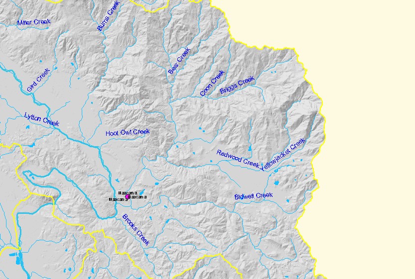
You selected the area Geyserville and the topic Fish: Maacama Creek Trap 1993-1995 Monthly Duration |
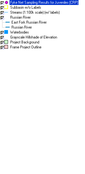
| This map shows the location of 1993-1995 fyke net sampling locations in the Geyserville sub-basin, displayed with 1:100,000 scale streams, sub-basins, and a grayscale hillshade. Surveys were conducted by Merritt Smith Consulting and the GIS layers were assembled by Circuit Rider Productions. | |||
|
|
||
| www.krisweb.com |