|
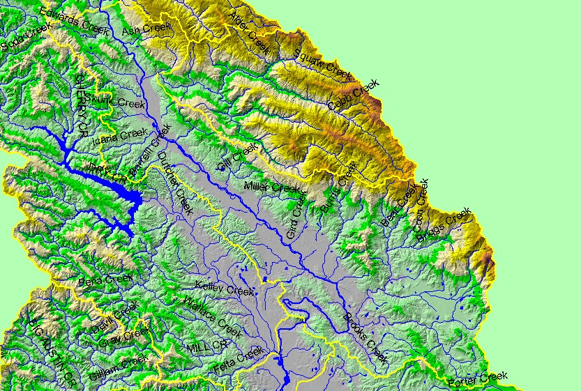
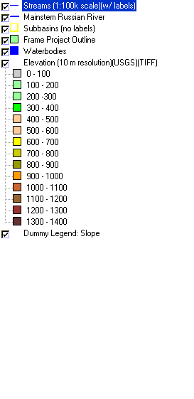
This is a map of the 1:100,000 scale U.S. Geologic Survey hydrography in the Geyserville sub-basin, displayed with a Digital Elevation Model (DEM) showing the
topography of the landscape. The long valley surrounding the mainstem Russian River is the Alexander Valley. Many of the streams in the sub-basin are small, with the
exception of the Maacama Creek watershed (not labeled on this map), located in the eastern quarter of the sub-basin. The small valley in eastern part of the Maacama
watershed is Knights Valley. Mount Saint Helen, located northeast of Knights Valley at the far eastern edge of the sub-basin, is approximately 1400 meters high and is
the highest point in the Russian River watershed. Data were contributed by the U.S. Geological Survey and the California Department of Forestry.
|
|