| Area | Forsythe Creek |
| Topic | Tour: West Fork Russian Land Use and Watershed Conditions |
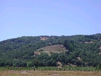
Redwood Valley, West Fork of the Russian off Westside Road. Landscape showing vineyards on the valley floor and the hillside with foreground looking like it may be being prepared for grape growing as well. Upland vineyard development may have different hydrologic and erosional impacts than those on the valley floor. Picture taken by Patrick Higgins. July 13, 2003.
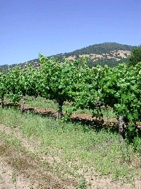
Closeup of grape vines off Westside Road in the West Fork Russian watershed. Uplands with brown rolling hills of grass contrasting with the green of oak woodlands and chaparral. Grapes are on sprinklers, not drip. Picture taken by Patrick Higgins. July 13, 2003.
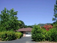
Large lot suburban development in West Fork Russian River watershed off Tomki Road. Paving often accompanies suburban development and this makes the land surface completely impervious. The amount of paving associated with each development can be small, but the cumulative effects of all such activities in the Russian basin over all is large. Picture taken by Patrick Higgins. July 13, 2003.
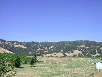
The berm in this photo taken looking east off East Side Road in Redwood Valley is the face of a water storage pond for the grapes flanking it to the left and right. These are common features in the Russian River basin associated with vineyards. Upland vegetation is oak woodland, grasslands and chaparral. Picture taken by Patrick Higgins. July 13, 2003.
This closeup shows a roads associated with access for equipment to the vineyard, which flanks it. While the roaded area is a relatively small part of a vineyard, it may sometimes be a source of sediment during winter rains. Picture taken by Patrick Higgins. July 13, 2003.
This photo shows the West Fork Russian River riparian zone on the east side of the stream off School Road in Redwood Valley. The gray building is a water pump that is drawing water from under the valley. The connection between ground water and surface flows in the Russian is not well studied. Picture taken by Patrick Higgins. July 13, 2003.
West Fork Russian River off East Side-Calpella Road below Highway 20. This dirt road not only acts as a source of fine sediment to the West Fork, it also encourages ORV access to the river bar, which is destructive to riparian vegetation. Picture taken by Patrick Higgins. July 13, 2003.
This photo shows a large mound of trash perched at the break in slope of the riparian zone of the upper West Fork Russian River along Tomki Road. Picture taken by Patrick Higgins. July 13, 2003.
 Click on image to enlarge (82K).
 Click on image to enlarge (186K).
 Click on image to enlarge (147K).
 Click on image to enlarge (170K).
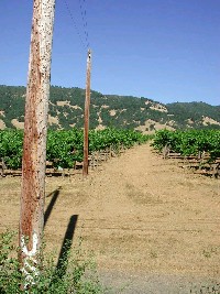 Click on image to enlarge (157K).
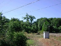 Click on image to enlarge (140K).
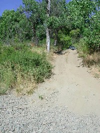 Click on image to enlarge (200K).
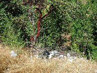 Click on image to enlarge (288K).
To learn more about this topic click Info Links
To view additional information (data source, aquisition date etc.) about this page, click Metadata
| www.krisweb.com |
