| Area | Upper Redwood |
| Topic | Maps of Upper Redwood Creek Sub-Basin |
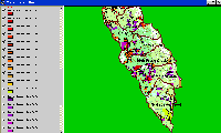
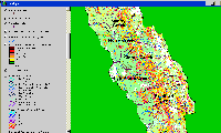
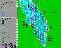
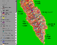
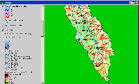
This map shows Calwater Planning Watersheds and timber harvests in the Upper Redwood Creek sub-basin. Timber harvest in Redwood Creek since 1985 were mapped by the California Department of Forestry and provided for use in the KRIS Redwood Creek Map project. This image is clipped from the KRIS Redwood Creek Map Project.
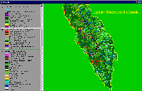
This map shows EPA land cover and vegetation change in the Upper Redwood Creek sub-basin. Red areas indicate canopy loss. This image is clipped from the KRIS Redwood Creek Map Project.
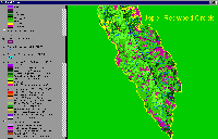
This map shows USFS vegetation size classes in the Upper Redwood Creek sub-basin. Vegetation size is derived from 1994 Landsat images. Map is from the KRIS Redwood Map Project.
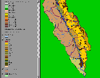
This image of the geology of the Upper Redwood Creek sub-basin is clipped from the KRIS Redwood Creek Map Project. The West side of the Upper sub-basin is predominantly comprised of Schist (KJfr) containing a high proportion of metamorphosed mudstone. The South West portion of the sub-basin contains sandstone and mélange units of Snow Camp Mountain KJfsc. The geology of the upper mainstem of Redwood Creek is KJfg, which follows the Grogan Fault. The East side of the Upper sub-basin has four dominant bands of mapped units: the coherent unit of Lacks Creek (KJfl), the incoherent unit of Coyote Creek (KJfc), South Fork Mountain Schist (KJfs), ultramafic Klamath Mountain rocks (Ju). This side of the sub-basin is peppered with quaternary landslide deposits (Ql).
This image shows the Shallow Landslide Stability Model (SHALSTAB) overlain on a USGS topographic map for the Upper Redwood Creek sub-basin. The relative risk of slides is high in the inner gorge of Redwood Creek. See the Background page on SHALSTAB for more information. Landslide information from the California Geologic Service was not made available to IFR. This image is clipped from the KRIS Redwood Creek Map Project.
Rainfall isopleths for the Upper Redwood Creek sub-basin. Each contour represents 2" of annual precipitation. This image is clipped from the KRIS Redwood Creek Map Project.
Redwood National Park road layer of the Upper Redwood Creek sub-basin. High road densities contribute to chronic surface erosion. This image is clipped from the KRIS Redwood Creek Map Project.
GIS derived stream gradient (percent slope) is shown for Upper Redwood Creek sub-basin. The low gradient of Redwood Creek is evident up to the top of the Bradford Calwater. The reaches with less than 2% gradient were liklely inhabited by coho before disturbance. This image is clipped from the KRIS Redwood Creek Map Project.
 Click on image to enlarge (53K).
 Click on image to enlarge (65K).
 Click on image to enlarge (51K).
 Click on image to enlarge (27K).
 Click on image to enlarge (87K).
 Click on image to enlarge (38K).
 Click on image to enlarge (118K).
 Click on image to enlarge (53K).
To learn more about this topic click Info Links
| www.krisweb.com |
