| Area | Anderson Creek |
| Topic | Tour: Anderson Creek Upland Vegetation June 2002 |
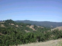
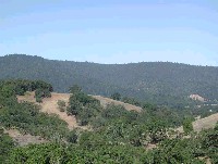
View of upper Anderson Creek watershed with oak woodlands and grasslands characteristic of the Central Belt Franciscan terrain. Picture #2 is a close up of the large rock outcrop and surrounding vegetation. Photo by Pat Higgins, 6/12/02.
Knocker, or large rock formation, in mélange terrain of upper Anderson Creek watershed in a photo taken from Highway 253 looking southwest. Note that vegetation is woodier in the draws where it is wetter. Photo by Pat Higgins, 6/12/02.
Area of upper Anderson Creek watershed dominated by grasslands with only patches of oaks. Grassy areas may be on earthflows with drainage that favors grass over trees. Photo by Pat Higgins, June 12, 2002.
This photo was taken looking south off the shoulder of Highway 253 and shows grassland and oak woodland in the foreground but coniferous trees in the distance. This is one of the few areas dominated by coniferous trees in the Anderson Creek watershed. Photo by Pat Higgins, 6/12/02.
Looking west in Anderson Creek back toward the town of Boonville. This photo shows the oak woodland and mixed grassland of the Central Belt Franciscan but also the coniferous forest on the west side of Anderson Valley, which is in the Coastal Franciscan terrain. See Picture #6 for a zoom. Photo by Pat Higgins, 6/12/02.
Zoom of Picture #5 looking west at different vegetation types associated with different geologic terrains in Anderson Valley. Photo by Pat Higgins, 6/12/02.
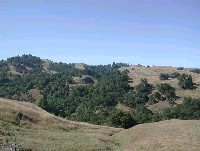 Click on image to enlarge (72K).
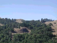 Click on image to enlarge (66K).
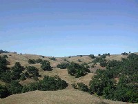 Click on image to enlarge (61K).
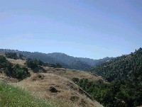 Click on image to enlarge (62K).
 Click on image to enlarge (85K).
 Click on image to enlarge (79K).
To learn more about this topic click Info Links
To view additional information (data source, aquisition date etc.) about this page, click Metadata
| www.krisweb.com |
