

|
Area/Topic | Bibliography | Background | Hypotheses | Home |
|
Map Page.
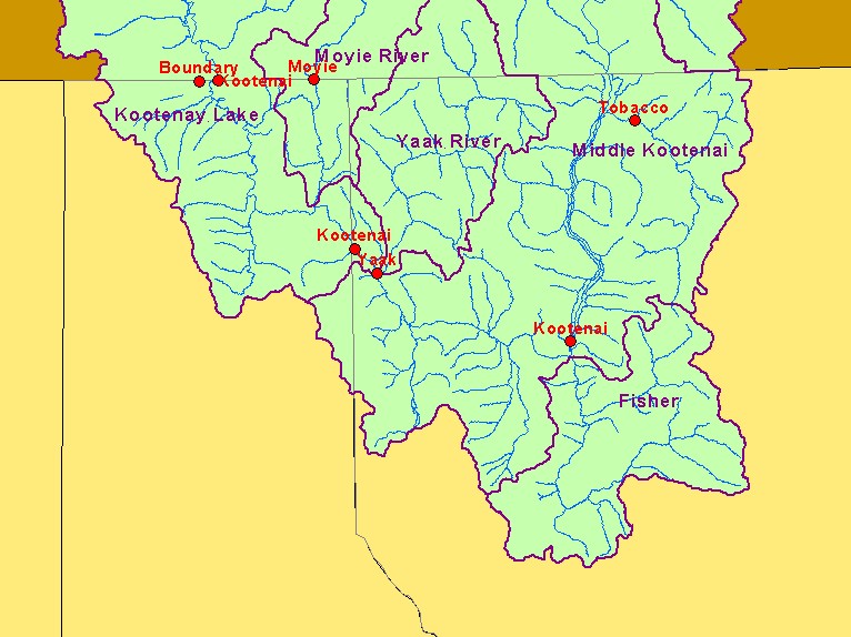
You selected the area Basin-wide and the topic Map: 4. Stream Gage Locations (Hotlinked), U.S. Kootenai R. Basin |
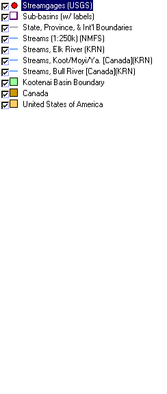
| This is a map of rivers, streams, stream gauges in the United States portion of the Kootenai River basin. The stream gauges (red dots) are hotlinked to charts of stream flow data. The view a chart, click on the desired location. Data were provided by the Kootenai River Network, United States Geologic Survey, and the Interior Columbia Basin Ecosystem Management Project. Scale = 1:1,048,873 . | |||
 |
 |
||
| www.krisweb.com |