| Area | Shasta |
| Topic | Tour: Restoration BLM Land |
Bureau of Land Management (BLM) owns this section of the lower the Shasta River. Grazing has been restricted and boulder weirs have been installed to improve salmon spawning habitat. Picture circa 1994. See Picture #2 to see the same location after the January 1997 storm.
This picture shows the same location on the lower Shasta River as Picture #1 in August 1997 after the January 1, 1997 storm. Note that some boulder weirs at the upper end of the reach have shifted and fine sediment has been deposited in the margins of the stream. Photo by Pat Higgins.
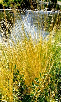
This picture was taken in August 1997 on BLM property in the lower Shasta River and shows an intact boulder weir which survived the January 1997 storm. Grasses and rushes along the margin of the stream are indicative of reduced grazing. Photo by Pat Higgins.
Shasta River at Salmon Heaven where the river forms a side channel and complex riparian habitat. The riparian zone shows substantial improvement following cessation of grazing. The area was grazed heavily from the turn of century to about 1990. The ownership is BLM. Picture taken in 1993.
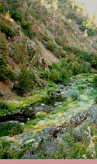
This reach of the lower Shasta River is part of the BLM ownership and grasses, rushes, shrubs, cattails and trees in the margin of the stream are indicative of riparian health. Photo taken in August 1997.
Yreka High School HROP students planted the small alders in the lower part of this photo growing up through the grass. Pat Higgins took the photo on BLM land in the lower Shasta River in August 1997.
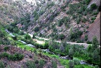 Click on image to enlarge (38K).
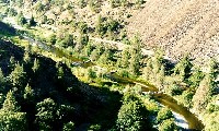 Click on image to enlarge (59K).
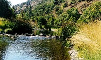 Click on image to enlarge (61K).
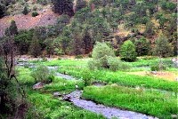 Click on image to enlarge (23K).
 Click on image to enlarge (216K).
 Click on image to enlarge (61K).
To learn more about this topic click Info Links
To view additional information (data source, aquisition date etc.) about this page, click Metadata
| www.krisweb.com |
