| Area | Salmon River |
| Topic | Tour: LSF Roads Sediment Source Assessment |
This Map shows the sites on the Lower South Fork of the Salmon River that have the potential divert water down the road under storm scenarios (Red circles). This Fish & Game funded project was completed by the Salmon River Restoration Council (Field work) and the US Forest Service.
This Map shows the Crossings on the Lower South Fork of the Salmon River that have the largest fills - and therefore the highest consequence when the culvert plugs. This Fish & Game funded project was completed by the Salmon River Restoration Council (Field work) and the US Forest Service.
This Map shows the Crossings on the Lower South Fork of the Salmon River that have culverts which are over 50% plugged (Red circles). This Fish & Game funded project was completed by the Salmon River Restoration Council (Field work) and the US Forest Service.
This Map shows the sites on the Lower South Fork of the Salmon River where the field crew found current erosional activity. We called the this Sites in Immediate need of Treatment. This Fish & Game funded project was completed by the Salmon River Restoration Council (Field work) and the US Forest Service.
This Map shows the Draft Prioritized Ranking of Sediment Source Production Sites in the Lower South Fork of the Salmon River. The large Red circles are the highest priority for repair because of high risk and high consequence factors. This Fish & Game funded project was completed by the Salmon River Restoration Council (Field work) and the US Forest Service.
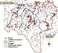 Click on image to enlarge (287K).
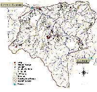 Click on image to enlarge (275K).
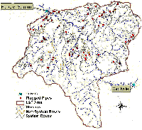 Click on image to enlarge (242K).
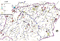 Click on image to enlarge (325K).
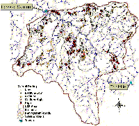 Click on image to enlarge (292K).
To learn more about this topic click Info Links
To view additional information (data source, aquisition date etc.) about this page, click Metadata
| www.krisweb.com |
