| Area | Mainstem Klamath |
| Topic | Tour: 2002 Mainstem Klamath Photo Points (2) Seiad to Happy Camp |
This photo shows the Klamath River at Gottville. Photo contributed by Michael Hentz. 2002.
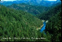
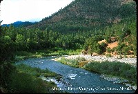
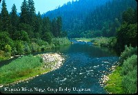
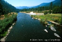
This photo shows the Klamath River above Happy Camp. Photo contributed by Michael Hentz. 2002.
This photo shows the Klamath River below Vesa Creek. Photo contributed by Michael Hentz. 2002.
This photo shows the Klamath River at Cherry Flat Bridge. Note piles at right, which are old hydraulic mining tailings. Photo contributed by Michael Hentz. 2002.
This photo shows the Klamath River above Happy Camp with patch clearcuts on Klamath National Forest lands. Photo contributed by Michael Hentz. 2002.
This photo shows the Klamath River at the mouth of O'Neil Creek. Photo contributed by Michael Hentz. 2002.
This photo shows the Klamath River from a bridge in Happy Camp. Photo contributed by Michael Hentz. 2002.
This photo shows the Klamath River near Happy Camp. Photo contributed by Michael Hentz. 2002.
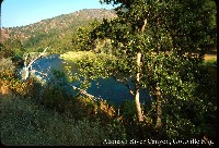 Click on image to enlarge (138K).
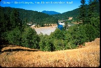 Click on image to enlarge (136K).
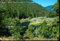 Click on image to enlarge (171K).
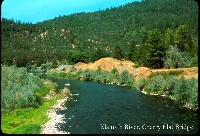 Click on image to enlarge (109K).
 Click on image to enlarge (119K).
 Click on image to enlarge (112K).
 Click on image to enlarge (102K).
 Click on image to enlarge (88K).
To learn more about this topic click Info Links
To view additional information (data source, aquisition date etc.) about this page, click Metadata
| www.krisweb.com |
