| Area | Middle Klamath |
| Topic | Tour: 2002 Photo Points of Elk Creek |
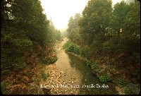
This photo shows Elk Creek at The 10 Mile Bridge with the haze of the 2002 Oregon forest fires clouding the sky and putting an orange cast on this photo. Photo contributed by Michael Hentz. 2002.
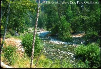
This photo shows Elk Creek above the East Fork Confluence. Young deciduous trees are starting to re-establish themselves after the 1997 storm caused debris torrents that flattened the Elk Creek riparian zone. As young alder and willow get established, they help provide shade and reduce stream temperatures. Photo contributed by Michael Hentz. 2002.
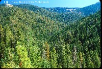
This photo shows Elk Creek looking up into the Marble Mountains. The Elk Creek watershed was extensively burned in the 1987 fires and had also been previously logged in the late 1970's and 1980's. Photo contributed by Michael Hentz. 2002.
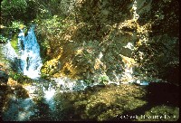
This photo shows Elk Creek at Doolittle Falls. Photo contributed by Michael Hentz. 2002.
This photo shows suction dredge gold mining on Elk Creek. Photo contributed by Michael Hentz. 2002.
This photo shows Elk Creek at its convergence with the Klamath River. Terrace of sand just below the roadway to the right was the height of the deposit at the mouth in 1997. Note that deciduous trees are becoming well established despite the channel reset in 1997. Photo contributed by Michael Hentz. 2002.
This photo shows Elk Creek Mainstream at the 5 Mile Bridge. Photo contributed by Michael Hentz. 2002.
This photo shows Elk Creek at the Klamath River with Highway 96 across the river along the terrace. Photo contributed by Michael Hentz. 2002.
 Click on image to enlarge (86K).
 Click on image to enlarge (158K).
 Click on image to enlarge (168K).
 Click on image to enlarge (125K).
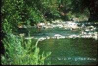 Click on image to enlarge (102K).
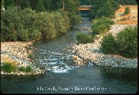 Click on image to enlarge (110K).
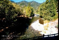 Click on image to enlarge (136K).
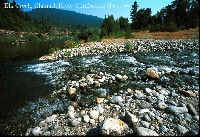 Click on image to enlarge (140K).
To learn more about this topic click Info Links
To view additional information (data source, aquisition date etc.) about this page, click Metadata
| www.krisweb.com |
