| Area | South Fork Battle |
| Topic | Tour: Battle Creek Watershed Assessment SF Site Photos 2001-2002 |
This picture shows the South Fork Battle Creek looking downstream in the Coleman Reach just before its convergence with the North Fork at Battle Creek Watershed Assessment site #062. Photo from Terraqua Inc.
This picture shows the South Fork Battle Creek in the Coleman Reach looking just above the convergence with the North Fork at Battle Creek Watershed Assessment site #062. Photo from Terraqua Inc.
This picture was taken looking downstream on the South Fork Battle Creek in the Coleman Reach downstream of Manton Road at Battle Creek Watershed Assessment site #020. Photo from Terraqua Inc.
This picture was taken looking upstream on the South Fork Battle Creek in the Coleman Reach near Manton Road at Battle Creek Watershed Assessment site #020. Photo from Terraqua Inc.
This picture was taken looking downstream on the South Fork Battle Creek at the Inskip Powerhouse with its tailrace in view at Battle Creek Watershed Assessment site #036. Photo from Terraqua Inc.
This picture was taken looking upstream on the South Fork Battle Creek at the Inskip Powerhouse at Battle Creek Watershed Assessment site #036. Photo from Terraqua Inc.
The South Fork Battle Creek is shown here in the Inskip Reach just below Ripley Creek at Battle Creek Watershed Assessment site #044 looking downstream. Photo from Terraqua Inc.
This picture shows the South Fork Battle Creek looking downstream in the Inskip Reach upstream of Inskip Dam at Battle Creek Watershed Assessment site #043. Photo from Terraqua Inc.
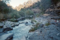 Click on image to enlarge (144K).
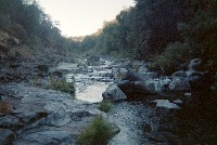 Click on image to enlarge (140K).
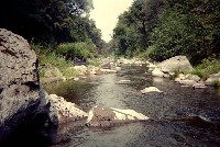 Click on image to enlarge (162K).
 Click on image to enlarge (153K).
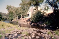 Click on image to enlarge (166K).
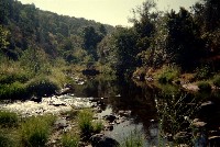 Click on image to enlarge (156K).
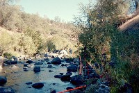 Click on image to enlarge (176K).
 Click on image to enlarge (137K).
To learn more about this topic click Info Links
To view additional information (data source, aquisition date etc.) about this page, click Metadata
| www.krisweb.com |
