| Area |
Lagunitas Creek |
| Topic |
Sediment: 4 Big Rock - Bed Surface Composition 1980-2000 |
|
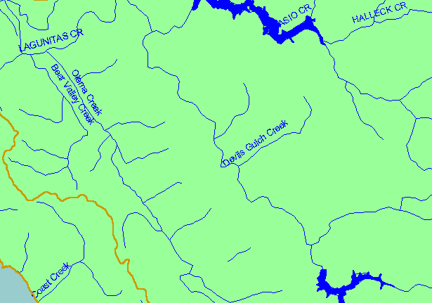
This is a map of sediment sampling locations in Lagunitas Creek monitored by Balance Hydrologics, Inc. for Marin Municipal Water
District (MMWD). Displayed in the background are sub-basins and 1:100,000 scale USGS hydrography.
|
|
|
 |
 |
To view metadata about a map layer, click on a link in the table below.
| Name of Layer in Map Legend | Metadata File Name |
|---|
| Subbasins (no labels) | subbasins.shp.txt |
| Frame Project Outline | Unavailable |
| Streams (1:100k scale)(w/ labels) | streams100.shp.txt |
| Lakes and Reservoirs | Unavailable |
| Topo Map, South (1:24k scale) | Unavailable |
| Elevation (10 m resolution) | elev10.tif.txt |
| Pt. Reyes National Seashore Map | Unavailable |
| Project Background | Unavailable |